
| Previous Site | Next Site |
Earth Science Conservation Review
| East Cuilcagh - Pollnaclanawley | Fermanagh |
| Site number: | 325 | File Number: | H12 |
| ESCC: | IC | ||
| Locality Type: | Cave, Pothole | Status: | ASSI |
| Grid Reference: | H16472956 | ||
| Google maps: | 54.21464,-7.7486 | ||
| County: | Fermanagh | Council area: | Fermanagh & Omagh District Council |
| Period: | Quaternary | ||
| Stages: | Holocene | ||
| Site Description | |
|---|---|
 | |
| Description: | |
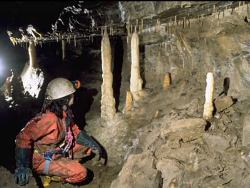
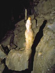
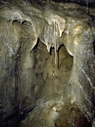
Approximately 70m deep (six shafts) with 150m of horizontal passage. Passages are all fracture controlled rifts. Calcite formations and clastic sediments are present in some fossil passages in the upper part of the cave.
  | |
| Notes: | |
Pollnaclanawley is a feature associated with the Pollnatagha-Black Pot Structure of East Cuilcagh, in the Marlbank-Cuilcagh Mountain Region. For general information on the systems and features of this region, including this one, and a reference list, see site description 'Marlbank-Cuilcagh Mountain Region; East Cuilcagh Overview'. | |
| Keywords | |
|---|---|
| Minerals: | Calcite |
| Rocks: | Limestone |
| Structures: | rift |
| Geomorph: | pothole |
| Measurements | |||||
|---|---|---|---|---|---|
| Length: | 150 m | Width: | Height: | ||
| Depth: | 70 m | Area: | |||
| Record type: | ESCR report | ||
| Entered by: | Doughty, P.J. | ||
| Last updated: | 24 Dec 2003 | ||
| Enlander, I., Dempster, M. & Doughty, P., 2026. East Cuilcagh - Pollnaclanawley, County Fermanagh, site details. [In] Earth Science Conservation Review. https://www.habitas.org.uk/escr/site.php?item=325. Accessed on 2026-11-06. |
| Previous Site | Next Site |