
| Previous Site | Next Site |
Earth Science Conservation Review
| Shaque Hill, near Dundrum | Down |
| Site number: | 564 | ||
| ESCC: | EM | ||
| Locality Type: | Spoil, Trial mine and spoil | Status: | local interest |
| Grid Reference: | J392365 Centroid | ||
| Google maps: | 54.25886,-5.86389 | ||
| County: | Down | Council area: | Newry, Mourne & Down District Council |
| Site Description | |
|---|---|
 | |
| Highlights: | |
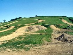
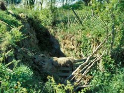
Trace galena in mine spoil. | |
| Description: | |
 | |
| Conclusions: | |
The site was considered not worthy of designation. | |
| Keywords | |
|---|---|
| Minerals: | Galena |
| Uses | |
|---|---|
| Uses: | Waste ground within Shaque Hill Farm, used for motorbike scrambling. |
| Record type: | ESCR report | Recorded by: | R. Nawaz and N.R. Moles |
| Entered by: | E M Porter | ||
| Last updated: | 07 MAY 68 | ||
| Enlander, I., Dempster, M. & Doughty, P., 2026. Shaque Hill, near Dundrum, County Down, site details. [In] Earth Science Conservation Review. https://www.habitas.org.uk/escr/site.php?item=564. Accessed on 2026-11-08. |
| Previous Site | Next Site |